The Wide Verges and the Long Drove: A Winter Weekend on the Eastern Borders' Cattle Tracks
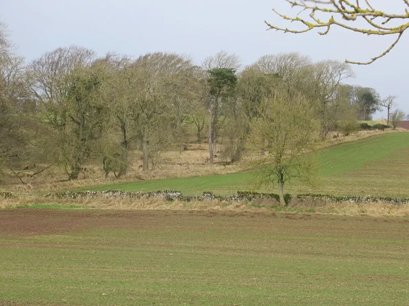
Photo: ian shiell , CC BY-SA 2.0, via Wikimedia Commons
Most Borders weekends are built around a summit. This one is built around a width. In the eastern Borders, the older routes between the Cheviot foothills and the Tweed often survive not as dramatic mountain paths but as unusually generous road verges, sunken lanes, farm tracks and the occasional suspiciously large gap between dykes. These are the marks of cattle on the move: droves of beasts that were once walked south to English markets, and the people who moved with them.
As November 2026 settles into short afternoons and long, clear nights, this is a good corner of the Borders for a gentle, history-minded weekend. You do not need to complete a long-distance route. The pleasure is in picking up fragments, walking a few miles between villages, and then repairing to a warm pub or café before the light goes.
Why the drovers left such wide roads
Droving was a practical business. Cattle from the north and north-east of Scotland were moved south in stages, grazing as they went, to trysts and markets in Scotland and England. In the eastern Borders, routes funnelled through places such as Yetholm, Morebattle, Hownam, Kelso and Coldstream, where water, grazing and inns could be found.
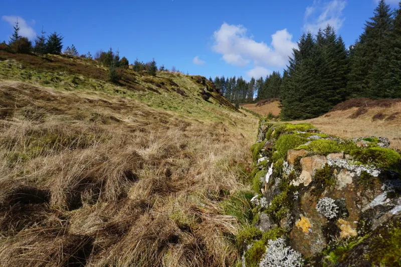
The landscape still remembers this. Look for roads with broad grass margins, often wider than any modern need. Look for parallel tracks across hill ground, worn holloways where centuries of hooves and feet cut into soft earth, and old bridges that seem oversized for the traffic that now crosses them. Place names can be clues too: loan, drift, gate and tryst all point to movement, grazing and gathering.
Not every old drove route is a right of way, and many are now ordinary minor roads or working farm tracks. Treat them as living heritage rather than a museum exhibit. Take an OS map — Explorer OL16 covers the Cheviot Hills and Jedburgh — and follow the Scottish Outdoor Access Code. Where a route is not clearly public, admire it from the road and do not improvise across private land.
A practical three-day shape
Base yourself in Kelso or Kirk Yetholm. Kelso gives you shops, cafés and a sensible winter base; Yetholm puts you closer to the hills and the quiet lanes. A car is the simplest way to link the pieces, though some buses serve the main towns and villages. Winter timetables are thin, so check before you rely on them.
Friday: Kelso, slowly. Arrive in Kelso and walk the Market Square and the abbey grounds before the light fades. The town was a market centre long before droving reached its height, and its wide square still has the feel of a place where beasts, people and goods were once gathered. Pick up supplies from an independent shop, book a table for supper, and keep the first day short. In cold weather, a small, well-chosen walk beats a heroic one.
Saturday: the Kale Water and the Cheviot edge. Drive to Kirk Yetholm and start on foot from the village. The Pennine Way begins or ends here, and while that long-distance route is not itself a drovers' road, it gives you a way into the Cheviot foothills on public paths. Walk a short out-and-back section, watching for the transition from village lanes to open hill ground. Then return to the village and take a gentle lane walk towards the Kale Water, where the road margins widen and the fields open out.
In the afternoon, move to Morebattle for a late lunch and a short loop on minor lanes. This is not a day for bagging miles. It is a day for noticing how the route sits in the landscape: the flat ground beside water, the old walls, the steadings, the inns that once served people who had been walking for days. Carry a torch and a flask, and turn back early if the weather closes in.
Sunday: Coldstream and the Tweed. Finish with a riverside leg near Coldstream or Kelso. The Tweed is the great eastern artery of the Borders, and its market towns were the natural end points for a weekend of slow movement. A short walk beside the river, followed by a look round Coldstream Museum or a potter round Kelso's independent shops, makes a sensible cold-weather finish.
What to look for in the landscape
Droving history is rarely labelled. It shows up in subtler ways. Broad verges are the most obvious clue: wide strips of grass beside a narrow road often mean animals once needed to graze and pass. Sunken lanes, with high banks and exposed roots, suggest long use. Old inns with large yards or byre doors were built for horses, carts and livestock as much as for people.
Place names reward a map. A “loan” often led to grazing; a “drift” suggests movement of animals; a “gate” can mark a route or an opening. None of these is proof on its own, but together they build a picture of a working landscape rather than an empty one.
Inns, cafés and cold-weather logistics
This is not a route to attempt on a whim in ice or thick fog. The eastern Cheviot edge can be exposed, and minor roads may be untreated. Wear boots with grip, carry waterproofs, and keep the day's mileage modest. Winter opening hours at village pubs and cafés vary, so ring ahead rather than assuming. A warm lunch is part of the itinerary, not an afterthought.
Independent places in Kelso, Yetholm, Morebattle and Coldstream are the backbone of a weekend like this. Use them properly: book where you can, arrive before the kitchen closes, and do not expect a village café to operate like a city one in January. The same goes for pubs with rooms — a few have deep droving-era roots, and all of them are more pleasant when you have warned them you are coming.
A weekend of fragments, not a trail
The old drovers' roads of the eastern Borders are not a single signed route. They are a scatter of survivals: a wide verge here, a holloway there, an inn yard, a bridge, a name on the map. That is exactly what makes them worth a weekend. You are not ticking off a path. You are moving slowly through a working landscape that still carries the shape of old journeys — and then finding a good seat by a fire at the end of it.