Downstream, Slowly: A Weekend Following the Tweed from Tweedsmuir to Berwick
Most Borders itineraries are built like a shopping list: an abbey here, a viewpoint there, a distillery somewhere in between. It works, but you spend the day comparing things that have nothing to do with each other. There is a simpler thread lying right across the region, and it happens to be wet. The Tweed runs about 97 miles from a boggy hollow above Tweedsmuir to the North Sea at Berwick, and following it downstream over a weekend does the explaining for you: upland sheep country, mill towns, abbey ruins, salmon water, and finally a walled town that spent centuries being argued over.
You do not need to walk all of it. You need to touch it at five or six points and let the road do the rest.
Where it starts: Tweedsmuir and a river you can step over
The Tweed's official source is Tweed's Well, a small pool on the hills above Tweedsmuir, signed from a track off the A701 south of Broughton. It is not a grand sight. It is a ditch, then a trickle, and there is something genuinely satisfying about standing beside water that will shortly be wide enough to stop an army.
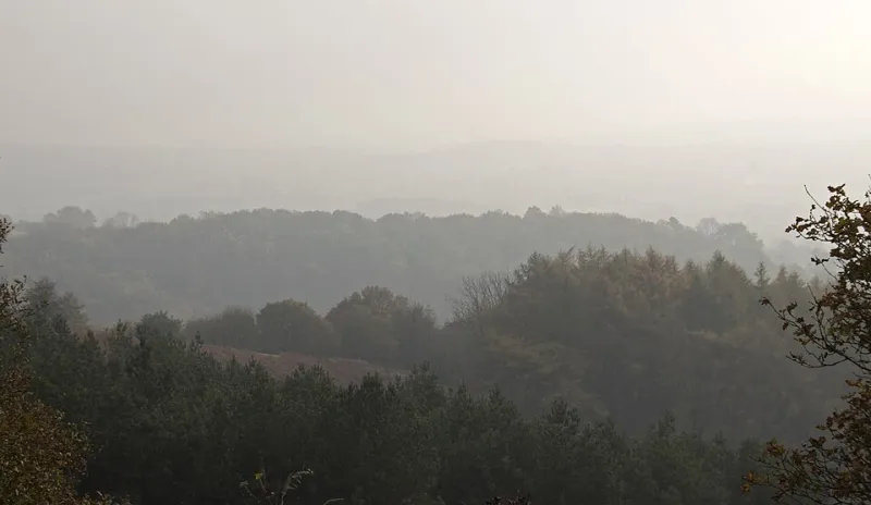
Tweedsmuir itself is a handful of houses, a kirk and the community-owned Crook Inn, which has been slowly coming back to life after years of closure — check before you plan lunch around it. The village hall car park is the sensible base. If you want a leg-stretch with a view, the track up toward the source takes about an hour return and gives you the whole upper valley laid out below, all hill grazing and forestry and the A701 cutting through it.
Practical note: the Talla Reservoir, a few miles east, is on the Talla, not the Tweed. It is worth the detour anyway, and nobody will check.
Peebles: the river learns to behave like a town river
By Peebles the Tweed has grown up. It slides past Tweed Green, under the bridges, and out toward Neidpath Castle, which sits on a bluff above a gorge in the way that only a 14th-century tower house can.
The walk is the point here. From the town centre, the riverside path heads west to Neidpath and back — roughly two and a half miles, flat, and busy enough on a Sunday that you will never feel remote. Cross the footbridge, follow the bank, and you get the castle from below, which is the flattering angle. If you have an extra hour, the Eddleston Water path loops north of the town and gives a quieter counterpoint.
Peebles is also the first proper stop for the practical stuff: independent shops on the High Street, coffee, a bakery, and a decent chance of finding somewhere to park without a fight. It is a good place to acknowledge that following a river is mostly an excuse for frequent stops.
Melrose, Leaderfoot and the salmon question
Between Peebles and Melrose the Tweed picks up pace and purpose. At Leaderfoot, near Melrose, three crossings stack up within sight of each other: the old road bridge, the 1865 railway viaduct with its nineteen arches, and the modern A68 crossing. It is one of the best free pieces of engineering-watching in the south of Scotland, and the Roman site of Trimontium sits just above it.
Melrose itself gives you the Chain Bridge, a footbridge of 1826 that swings slightly underfoot and is far more fun than it should be, plus the abbey and a town centre that rewards an unhurried hour. This is also salmon country proper. The Tweed is one of the great Atlantic salmon rivers of Europe, and although runs have been thinner in recent years, the fishing heritage is written all over the valley — fishing huts, beats, ghillies' cottages, and the catch-and-release culture that now dominates the sport. If you see someone standing in waders staring at water, leave them to it and admire from the bank.
Kelso, Coldstream and a river with room to breathe
At Kelso the Teviot joins the Tweed at the Junction Pool, one of the most famous bits of salmon water in Britain, and the town's Rennie bridge of 1803 gives a fine view of both rivers doing their thing. Floors Castle looks on from above. The riverside path here is short and easy, and the town square is a good spot to sit with something warm.
Downstream, Coldstream is broad, calm and slightly grand, with the 1767 bridge by John Smeaton carrying the old coaching road into England. The Coldstream Guards museum in the town is small and free-ish in spirit, and the riverside walk along the Hirsel estate side is a gentle hour. By this point you are mostly following a river that has stopped arguing with its banks.
Berwick: three bridges and the end of it
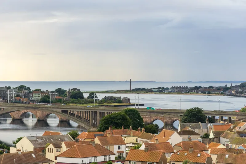
Berwick-upon-Tweed is where the Tweed finishes and makes a fuss about it. The Old Bridge, begun in 1611 under James VI and I, still carries traffic. The Royal Tweed Bridge of 1928 leaps it in concrete. And Robert Stephenson's Royal Border Bridge of 1850 carries the East Coast Main Line over on twenty-eight arches — best seen from the riverside path or from the walls, ideally as a train goes over.
Walk the walls, drop down to the quayside, and finish at Spittal or on the pier with something from a chip shop. It is a proper ending: a working town, a railway, and a river that has spent ninety-odd miles getting here.
Driving, buses and how long to give it
Two days is right. Day one: Tweedsmuir, Peebles and Melrose. Day two: Kelso, Coldstream and Berwick. By car it is roughly an hour and a half from Peebles to Berwick on the A68 and A697, so the driving is never punishing.
Without a car it is harder but not impossible. Borders Buses run services linking Peebles and Galashiels, and a service from Galashiels through Melrose and Kelso to Berwick, though timings are infrequent enough that you should build the day around the timetable rather than the other way round. Berwick has a railway station, which means you can finish at the coast and get home without retracing the whole valley. Tweedsmuir, at the top, is the awkward end — plan it as a first-night stop rather than a day trip.
Why one river works better than five attractions
Follow a single river and you notice things you would otherwise skip: how the bridges change from stone to iron to concrete, how the fishing huts thin out as the water widens, how the towns turn gradually from upland to arable. You also get a narrative, which is more than most weekends away manage. Start small above Tweedsmuir, end with a chip supper in Berwick, and let the water do the introductions.